
Schertz Neighbors and Block Sources
The public sources around a Schertz address answer different questions. A Schertz GIS layer supplies parcel shapes and nearby identifiers. A Schertz appraisal or tax result identifies an owner of record and can show a separate mailing address. County deed records supply transfer history, while Schertz CityView can show address-linked permits, inspections, planning, or code activity. Community contacts help route a message to an association, not to private members. A Schertz parcel result and an address listing should be treated as dated evidence, not a current household census.
| Block source | What it can show | Access route |
|---|---|---|
| Schertz GIS parcel and address layer | Parcel polygons, address points, adjacent IDs, building footprints, city and ETJ context | Public map and query layer; currency varies |
| County appraisal portals | Owner of record, mailing and situs fields, value, exemptions, subdivision, and identifiers | County-specific online search or written record request |
| County deed indexes | Recorded transfers, liens, plats, and legal descriptions for each parcel | Online index, clerk office, or record request |
| Schertz CityView | Property-linked permits, inspections, planning cases, and code paths | Public address or parcel locator; historic range not stated |
| HOA Contact List and National Night Out | Subdivision and community contact routes | City public contacts; no member roster |
Schertz neighbors may be connected by a street yet use different custodians. The Schertz city footprint crosses Guadalupe, Bexar, and Comal counties. Confirm the county for each Schertz parcel before using any appraisal, deed, or tax source. An owner mailing city or ZIP can be different from the Schertz parcel situs and does not establish a shared household.
Map Schertz Neighbors Parcel by Parcel
Use the Schertz GIS map as the block starting point. Search the subject Schertz address or parcel, check whether it lies in Schertz city limits, the ETJ, or a nearby county setting, and note the displayed parcel ID and street labels. Then click each immediate polygon or adjacent Schertz address point at the same map scale. The city exhibit inspected for this research demonstrates the method with a subject parcel, adjacent parcels, surrounding roads, city-limit shading, an ETJ outline, and a 200-foot buffer. It is a model for a small, documented Schertz block review rather than a street-wide name list.
- Locate the subject address in Schertz GIS and save its parcel ID, situs, and city-limit or ETJ context.
- Click the adjoining parcels and record each displayed ID and situs in order around the block.
- Open the correct county appraisal source for each ID and preserve the owner-of-record, mailing field, subdivision, lot or block, and source date.
- Use the county deed index only when a recorded transfer, plat, or legal description needs confirmation.
- Keep a separate row for each parcel. Do not combine entries because names, mailing addresses, or lot patterns look alike.
The Bexar parcel feature layer is a documented county route for a Schertz-area parcel in Bexar County.
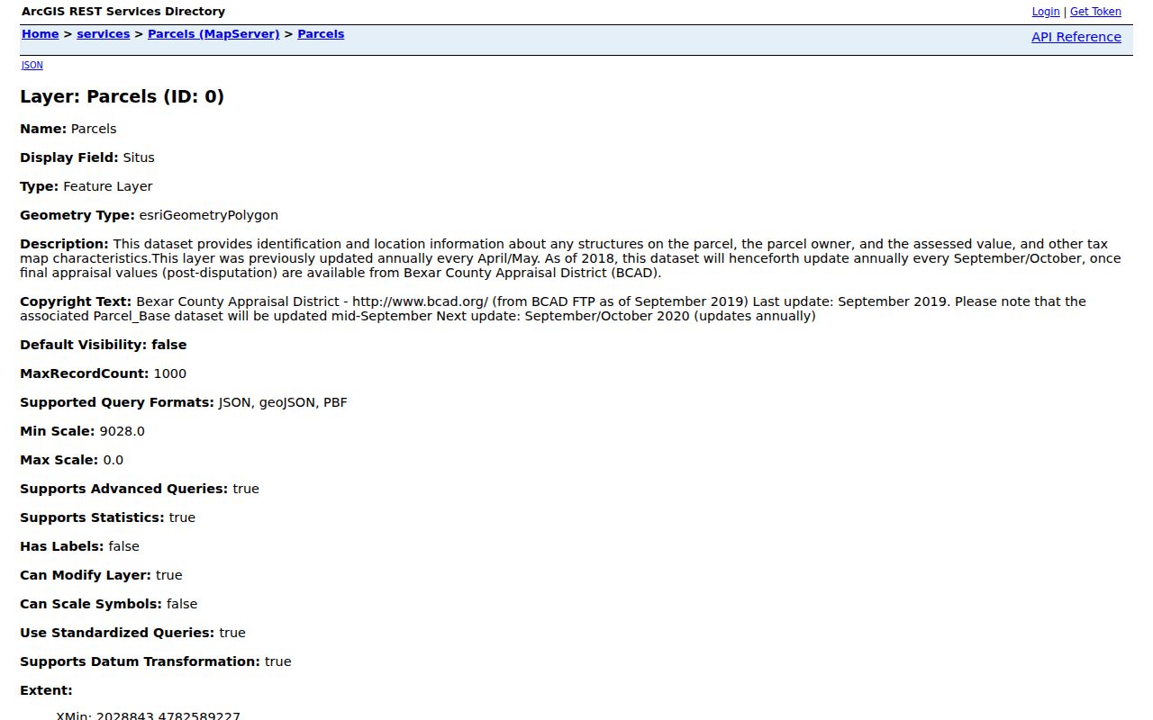
The Bexar layer describes Schertz situs, owner, assessed-value, and tax-map characteristics, while its update metadata should be checked before relying on a result.
Schertz County Lines on One Block
Schertz city limits and mailing labels do not decide who keeps a record. Schertz GIS distinguishes City Limits from the Schertz ETJ, and nearby Schertz parcels can fall under Guadalupe, Bexar, or Comal appraisal and clerk systems. This is why a single Schertz block can have a city parcel beside an ETJ or county-address context. Boundary, zoning, flood, district, and thoroughfare layers are useful for explaining the split, but they are not ownership fields.
For Comal County, the official Online Services page routes users to county GIS and land-record tools. Its documented GIS guidance says an address, street, or property-ID search returns matching choices and a parcel popup can open appraisal information. Record the county first, then compare the physical situs with the mailing field. Do not use a Schertz city label, 78154, 78108, or 78132 as a substitute for a parcel-county check.
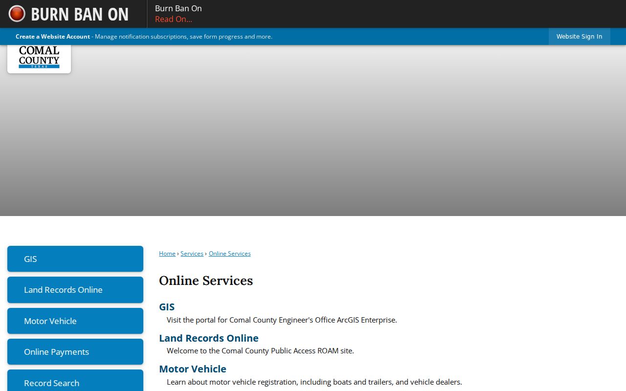
The county service route is a practical Schertz handoff when the map shows that an adjoining Schertz-area parcel belongs in Comal records.
Note: A common mailing address can belong to an owner, an entity, or another contact point and does not prove that two parcels share occupants.
Schertz Neighbors and Voter Limits
Texas voter tools are not a public Schertz browse for everyone on a block. VoteTexas uses a VUID, Texas driver-license or ID route, or a name route with county and date of birth. Bexar’s check is more address-specific: it asks for date of birth and house number before a last name, then can display a registered address and precinct. Guadalupe and Comal local form fields were not located in the inspected pages, so their Schertz elections contacts and the state route are the documented fallback. A formal voter-file request is a separate process with its own use restrictions.
Public Schertz voter information is governed by Texas Election Code §§13.004 and 18.005. Phone numbers, identification fields, and other protected data are not ordinary public search fields. A protected voter can have an address masked, and Address Confidentiality Program participants use a substitute address. A Schertz registration match or precinct is a civic-registration clue, not proof of a current household relationship.
The Texas voter address-confidentiality guidance describes the limits on protected-address disclosure.
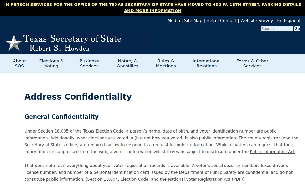
Use voter information only through the allowed route and leave masked or protected address information untouched.
Schertz HOA Contacts by Subdivision
The city’s HOA Contact List is a community-contact layer for Schertz neighbors, not a directory of residents. It gives Schertz association or management details where provided, allowing a reader to ask about a reunion notice, a public meeting, or local history through the organization. It does not publish a member list. The Schertz city list includes many subdivision names, so use the city’s current contact page instead of assuming a development has one current association or that an association covers every lot nearby.
| Community examples in city materials | Appropriate contact purpose |
|---|---|
| Arroyo Verde, Ashley Place, Belmont Park, and Carolina Crossing North or South | Association or manager contact where listed by the city |
| Crossvine, Cypress Point, Fairhaven, Forest Ridge, Greenshire, and Green Valley | Community history, public event, or association inquiry |
| Homestead, Jonas Wood, Kensington Ranch, Northcliffe, and Oak Trail Estates | Confirm the relevant organization before sending a request |
| Park at Woodland Oaks, Savannah Bluff or Square, Willow Grove, and Woodland Oaks or Village | Use the listed contact route; do not ask for private member data |
These examples are names in the Schertz city association inventory, not a claim that every association has the same governance, boundary, or published contact. The Schertz HOA Contact List and its update procedure are the source to check for a current route.
Note: An association contact is a route to an organization, not confirmation of membership, a resident address, or a household relationship.
Schertz National Night Out Layer
Schertz National Night Out offers another community route, but it has the same boundary. The 2026 city listing includes registered neighborhoods such as Greenshire, Forest Ridge, Belmont, Rhine Valley, Schertz Forest, Park at Woodland Oaks, Wilson’s Preserve, Whisper Meadow, Carolina Crossing North, Jonas Woods, Willow Grove, Homestead, Northcliffe, Woodland Oaks, Crossvine, Dove Meadows, Laura Heights, Scenic Hills, and Aviator 1518. Event registration identifies a Schertz neighborhood contact layer. It does not establish who lives at a particular address or create a membership list.
For Schertz historical context, San Antonio Public Library’s incomplete Cole Blue Book holdings can provide a dated street-and-house-number listing from 1960 to 2009. Compare such a listing with the Schertz parcel and county route before linking it to a present block. The full named-street record chain belongs with the Schertz Street Directory lookup.
Schertz Neighbors Through Old Maps
Old Schertz map and directory sources work best as context after a parcel is known. SAPL holds Bracey’s Block Maps with property-owner, lot-and-block, and old or new city-block information for their documented San Antonio scope. Its collection also includes Bexar tax-list microfilm, Blue Book directories, telephone volumes, Sanborn maps, water-board applications, house indexes, and builder bulletins. The records can help explain an older Schertz address or structure, but the research did not locate a complete Schertz reverse directory or an exact Schertz Sanborn sheet run.
Schertz history adds one important name change: Cut-Off was renamed Schertz in 1899. An early Schertz reference may use Cut-Off, Guadalupe County rural wording, an old route, or cross streets rather than a modern label. Keep the source’s original place wording and test it against the Schertz deed description and map geography. Do not turn a historical address listing into a claim about current neighbors.
Schertz Block Search Source Comparison
Official Schertz records and commercial neighbor-lookup categories serve different purposes. A compiled commercial result can combine parcel, directory, marketing, and public-record material. It can be stale, merge people with similar names, omit protected records, or attach a person to a nearby Schertz address without a dated county record. Treat that category only as an unverified lead. The GIS layer, appraisal custodian, county clerk, and Schertz city portal provide the routes for confirmation and correction.
| Source category | Strength | Limit |
|---|---|---|
| Official GIS, appraisal, and clerk records | County or city custody, parcel identifiers, dated filings, and correction routes | Coverage, image access, and update timing vary by office |
| Community association contact lists | Public route to an organization or manager | No proof of membership or an address-level household |
| Commercial compiled neighbor tools | May suggest a source to verify | Can be incomplete, stale, or incorrectly merged; not a resident fact |
Note: Preserve the parcel ID, county, source date, and document reference with every official result so a later correction can be directed to the right custodian.
Schertz Neighbor Privacy Limits
Important Schertz block information stays private. Recorded title does not list every occupant. Utility and delivery account information are not a public Schertz household source. Texas limits access to DMV information, and Schertz identifies utility accounts, dates of birth, driver-license data, vehicle information, and certain other categories for redaction or withholding. Protected voter addresses and Address Confidentiality Program participants require special care. A missing or masked Schertz record is not a gap to fill with inference.
The Texas Address Confidentiality Program provides a substitute mailing address and forwarding service for qualifying survivors. The program exists because ordinary address visibility can create a safety risk.
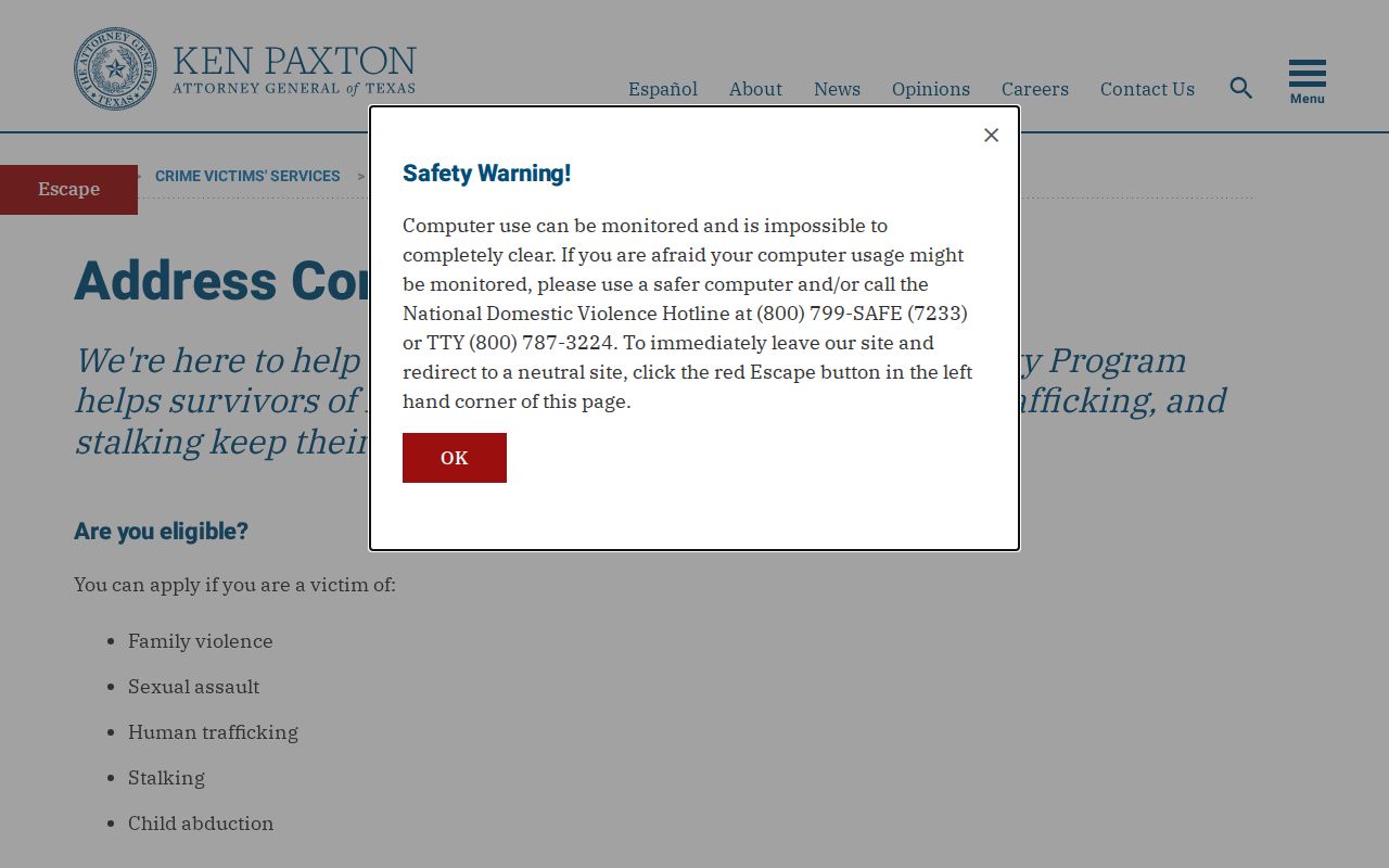
Respect program protections and ask the named records custodian about lawful access rather than attempting to locate a protected address.
Lawful use. Use Schertz neighbor records for personal community and property research. Texas law prohibits stalking and harassment, and public records must never be used to monitor or intimidate anyone.